비전Vision
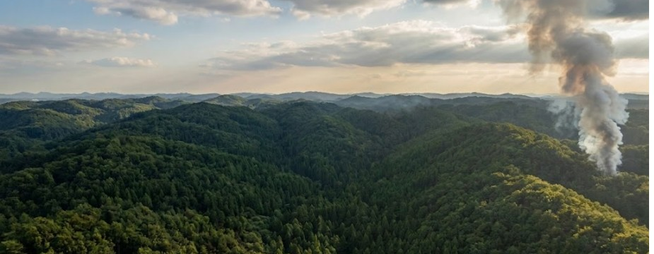
감지에서 대응까지,
재난 안전의 전 과정으로
From detection to response —
across all of disaster safety
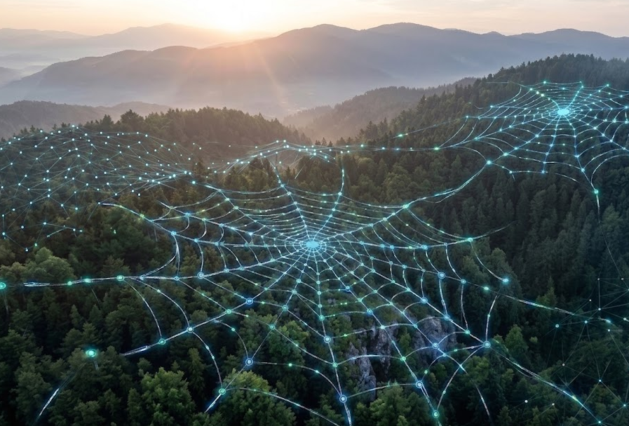
하나의 디바이스로 산불의 전주기를 관리합니다.
예측·감지·확인·진화·복구·탄소 정량화를 거쳐, 산림 환경 데이터 인프라로 확장합니다.One device managing the full wildfire lifecycle — predict, detect, verify, suppress, restore, quantify — expanding into forest environmental data infrastructure.
PHASE 01
예측Predict
클라우드 AI 위험지도로 발화 위험도를 사전 예측A cloud-AI risk map forecasts ignition risk in advance
PHASE 02
감지Detect
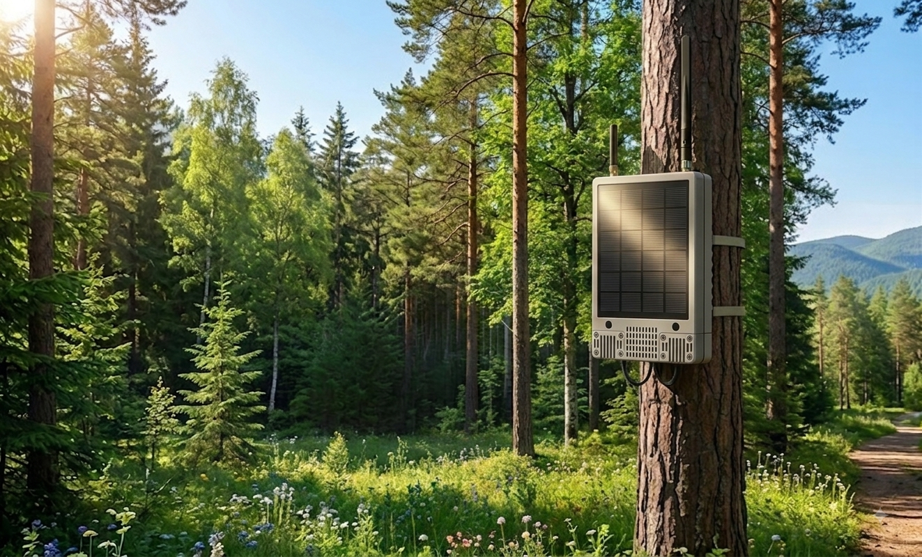
Fern-Eye와 온디바이스 AI가 현장에서 즉시 판별Fern-Eye and on-device AI classify on site, instantly
PHASE 03
확인Verify
발화 좌표를 드론에 전달해 초기 현장 확인Ignition coordinates hand off to drones for first verification
PHASE 04
진화Suppress
접근이 어려운 산림 심부의 조기 대응 지원Supporting early response deep in hard-to-reach forest
PHASE 05
복구Restore
토양·하층 식생과 생태 회복을 지속 관측Continuous monitoring of soil, understory and ecological recovery
PHASE 06
탄소 정량화Quantify
고빈도 실시간 데이터로 산림 탄소 흡수량 산정High-frequency data quantifies forest carbon absorption
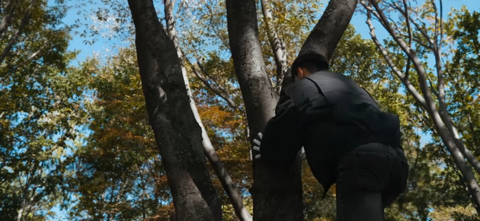
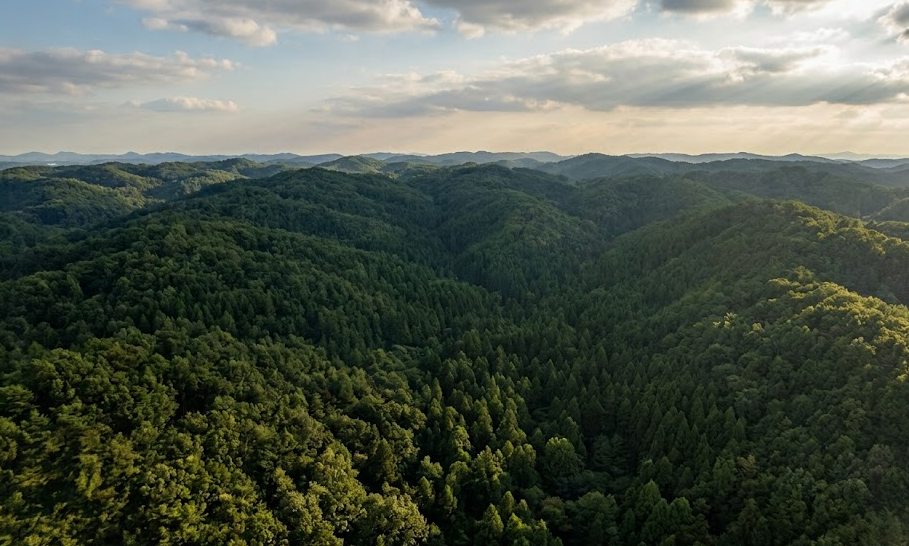
위성·드론이 관측하는 수관(canopy) 아래, 지금까지 사각지대였던 토양과 하층 식생까지 데이터로 채웁니다. 감지에서 현장 확인까지의 골든타임을 20분에서 3분으로 단축하는 것이 목표입니다.Below the canopy that satellites and drones see, we fill in the soil and understory that have remained blind spots — targeting a detect-to-verify golden time of 3 minutes, down from 20.
산림 디지털트윈 동적 레이어 공급Dynamic data layer for forest digital twins
탄소 정량화 · dMRV 기반 탄소 크레딧Carbon quantification and dMRV-based credits
드론 연계 — 감지 → 확인 → 초동 대처Drone linkage — detect → verify → first response